
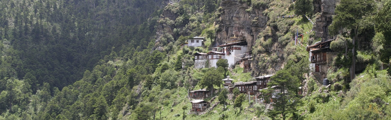
Jomolhari Trek
Jomolhari Trek is longer than the Jomolhari Loop – the most popular trekking routes in Bhutan. With altitude differences of 2,500m and nearly 5,000m it offers a wide range of landscapes, fauna and flora. The highlight of this trek is the spectacular view of Mount Jomolhari from Jomolhari Basecamp (Jangothang)..
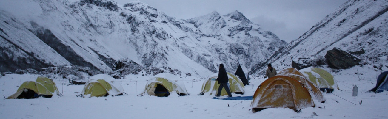
40mins, 80 m descent, camp altitude 2,850 m. This trek begins at Gunitsawa Village were you pass the army post. At the army checkpost your trek permit (provided by your tour operator) will be checked and endorsed. The campsite is on the opposite side of the river, not far from Gunitsawa.
Overnight at Paro | Altitude: 2200m
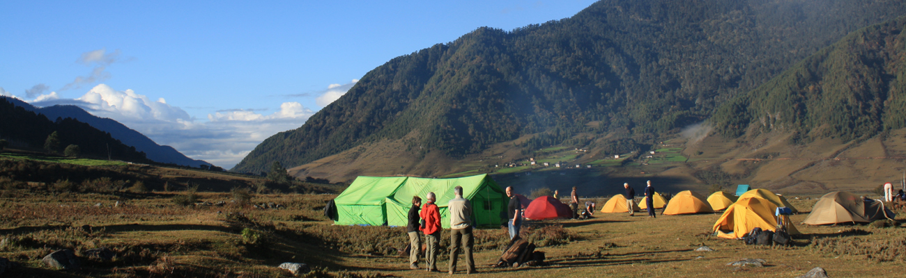
Distance 22 km, 7-8 hours, 770 m ascent, 10 m descent, camp altitude 3,610 m. On this long day, the trail continues with lots of small ups and downs. After going uphill through the river valley the valley finally narrows gradually to a mere path which descends to a meadow.
Distance 19 km, 5-6 hours, 480 m ascent, camp altitude 4,080 m. If you did not see Mt. Jomolhari the previous evening, you will still have a chance to get a great view early this morning. This morning the trek continues up the Paro Chhu valley which widens into patches of alpine meadow
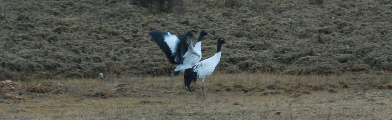
The rest day in Jangothang provides plenty of possibilities for day hikes with great views of lakes and snow capped mountains such as Jomolhari and Jichu Drake. There are good chances to spot some blue sheep on the upper slopes of the valley.
Distance 16km, six to seven hours, 810m ascent, 1,090m descent, camp altitude 3,800m. The trail leads to a last settlement in the valley and drops to the Paro Chhu. Passing the lake of Tshophu (4,380m) you will climb up steeply to Bhonte La pass at 4,890 m, the highest point of this trek rout.
Distance 22km, eight to nine hours, 940m ascent, 920m descent, camp altitude 4,080m. The trail climbs up to the Yelila pass at an altitude of 4,930m. From the pass, on a clear day you will get an excellent view of Jumolhari, Tserimgang and Masanggang. The trek from the pass to the campsite.
-We can tailor this trip to suit your specific requirements
-Any aspect of the itinerary can be altered, from excursions to accommodation